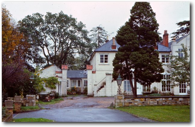
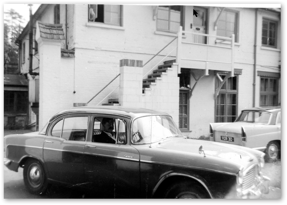
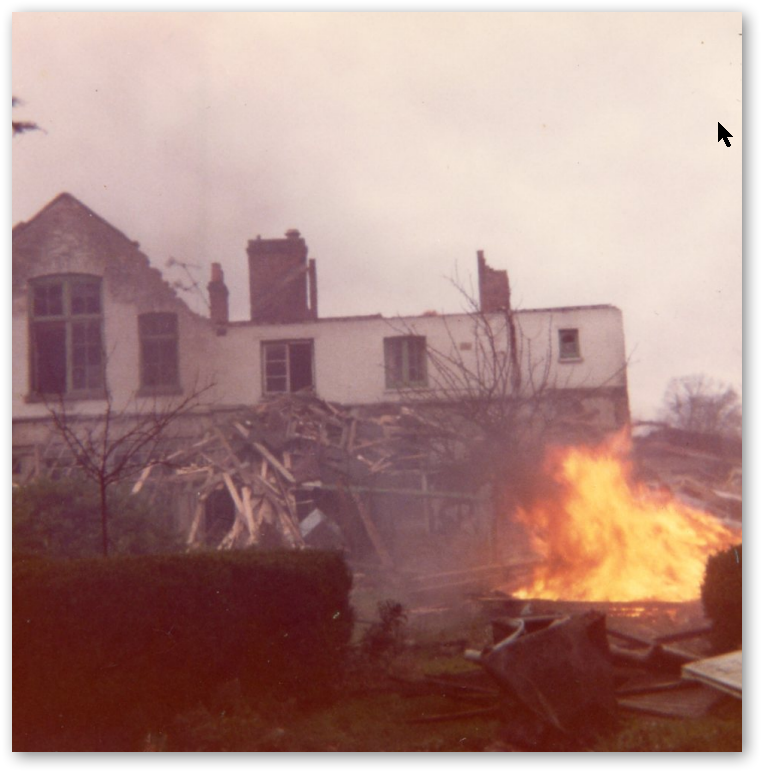
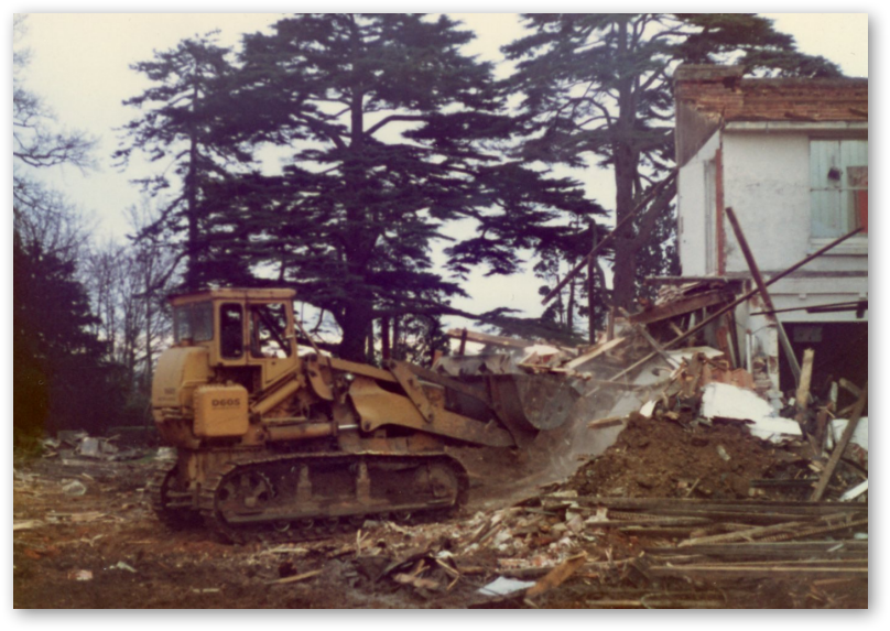
 Towards demolition, 1979 - 2007 1979: The Sycamores: The photographs below were saved from being thrown away by Jo Gosney when Rushmoor Council cleared out their planning archives. They show The Sycamores as it was in 1979.
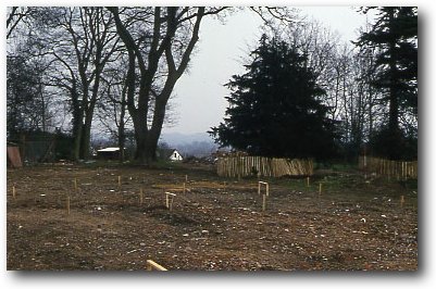
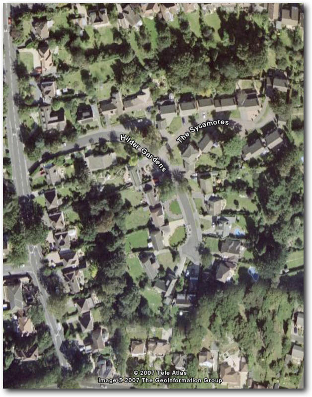
1979: The Sycamores - the road: On 20th June 1979, planning permission was requested to build ten properties on the land once occupied by The Sycamores. The adopted name for the road had to be - The Sycamores. The map below shows how the houses were laid out. 1980: The Sycamores - the road: This is a photo showing the building of The Sycamores Road (off Hilder gardens) taken in 1980. It's a real pity that we could not track one down that was taken a couple of years earlier! The Old White Lodge can also be seen in the upper left hand corner.
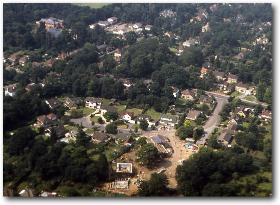
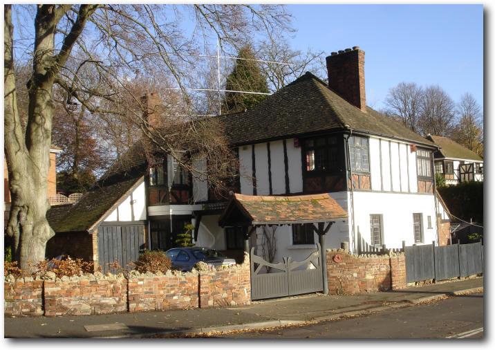
The Old White Lodge can be seen at the bottom of the map. 2007: Below is Google Earth image of the old The Sycamore estate land with the Old White Lodge in the bottom left hand corner.
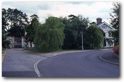
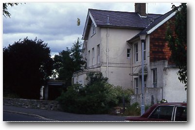
Today the only part of The Sycamores estate left standing is the Old White Lodge.
|
|||||||||